
Vermilion River
USGS 04199500: Vermilion River near Vermilion OH · gauge page
- Loading USGS readings…
Lake Erie tributaries · Vermilion to Conneaut
Ohio’s Lake Erie steelhead tributaries: what ODNR, the park districts and the Ohio codes say about them, quoted and linked, and each river’s USGS gauge readings as your browser loads them.
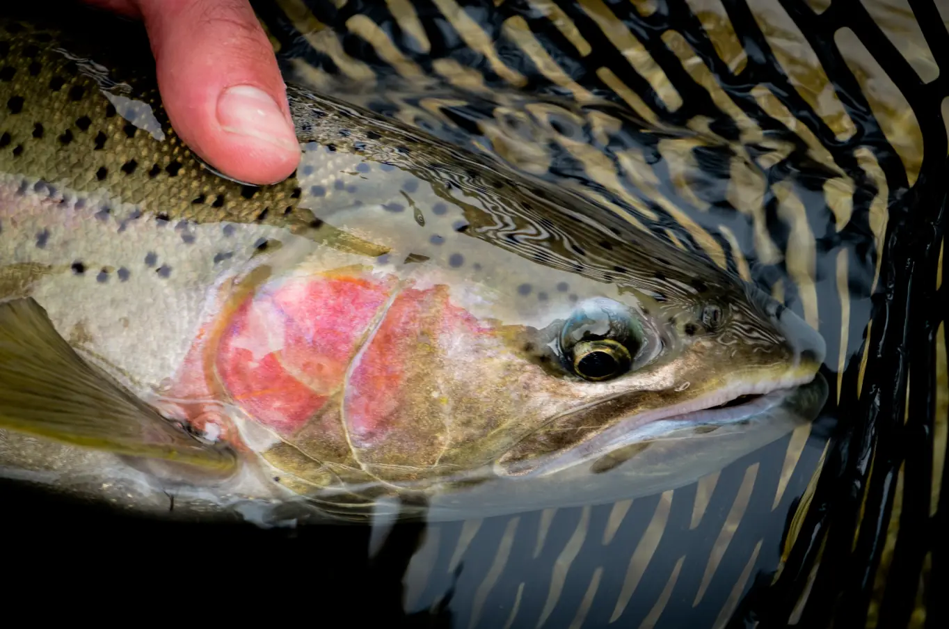
The fish this site is about: a steelhead in its spawning colors, the rose cheek and spotted olive back, for a moment in the net. The archive’s description: A steelhead (Oncorhynchus mykiss) in breeding colors, seen in a net after it was caught in the Methow River in Washington in the United States by personnel of the Winthrop National Fish Hatchery.
Photo: Michael Humling, U.S. Fish and Wildlife Service, public domain, via Wikimedia Commons. Caught in the Methow River in Washington by hatchery staff, not in Ohio.
“Steelhead are stocked Rainbow Trout that move between Lake Erie and Lake Erie tributaries.”
Fishing license: buy one online at the Ohio Wildlife Licensing System. That’s where the Purchase Your Fishing License Online
button on ODNR’s license page goes (checked November 1, 2026); the ODNR page lists license types and prices.
Moon: calculated in your browser (our calculation, approximate; it isn’t part of anything else on this page)
| River | Flow | Last 24 h | Water | USGS time |
|---|---|---|---|---|
| Vermilion River | … | … | … | |
| Rocky River | … | … | … | |
| Cuyahoga River | … | … | … | |
| Euclid Creek | … | … | … | |
| Chagrin River | … | … | … | |
| Grand River | … | … | … | |
| Conneaut Creek | … | … | … |
Flow and water temperature are USGS readings; “Last 24 h” is our arithmetic on them. The Ashtabula River has no active USGS gauge.
Are they biting? Each river’s flow against its sweet spot.
Newest park district report: Cleveland Metroparks, October 29. What the reports and anglers are saying.
ODNR’s fact sheet: Migrate into the tributaries from fall through spring.
(ODNR (PDF)) In the fall, anglers can find steelhead congregating along nearshore break walls, staging to run upriver.
(ODNR (PDF))
Lake Metroparks: As fall approaches, the steelhead begin to congregate at the mouths of streams and rivers flowing into the lake.
(lakemetroparks.com) As the rivers swell with the increased flows of the fall and winter, the adult fish begin making their way upstream to spawning areas.
(lakemetroparks.com) They may remain in the streams until well into the spring.
(lakemetroparks.com)
And out on the lake, per ODNR: Steelhead can be caught in Lake Erie from May through September using spoons and lures.
(ODNR (PDF))
Where fish are being reported: the newest park district report excerpt for each river, then angler chatter by Facebook group.
Loading readings from USGS…
USGS 04199500: Vermilion River near Vermilion OH · gauge page
USGS 04201500: Rocky River near Berea OH · gauge page
USGS 04208000: Cuyahoga River at Independence OH · gauge page
USGS 04208700: Euclid Creek at Cleveland OH · gauge page
USGS 04209000: Chagrin River at Willoughby OH · gauge page
USGS 04212100: Grand River near Painesville OH · gauge page
USGS 04213000: Conneaut Creek at Conneaut OH · gauge page
We print USGS’s numbers and times only. Whether a flow suits you is your call; the park district reports describe current conditions in their own words.
ODNR stocking numbers · ODNR steelhead map
USGS gauge 04199500
ODNR stocking numbers · ODNR steelhead map
USGS gauge 04201500
ODNR stocking numbers · ODNR map (image)
USGS gauge 04208000
ODNR steelhead map
USGS gauge 04208700
ODNR stocking numbers · ODNR steelhead map
USGS gauge 04209000
ODNR stocking numbers · ODNR steelhead map
USGS gauge 04212100
ODNR stocking numbers · ODNR steelhead map
ODNR stocking numbers · ODNR steelhead map
USGS gauge 04213000
Two pictures from public archives: one from the river bank in the 1890s, one from the air.
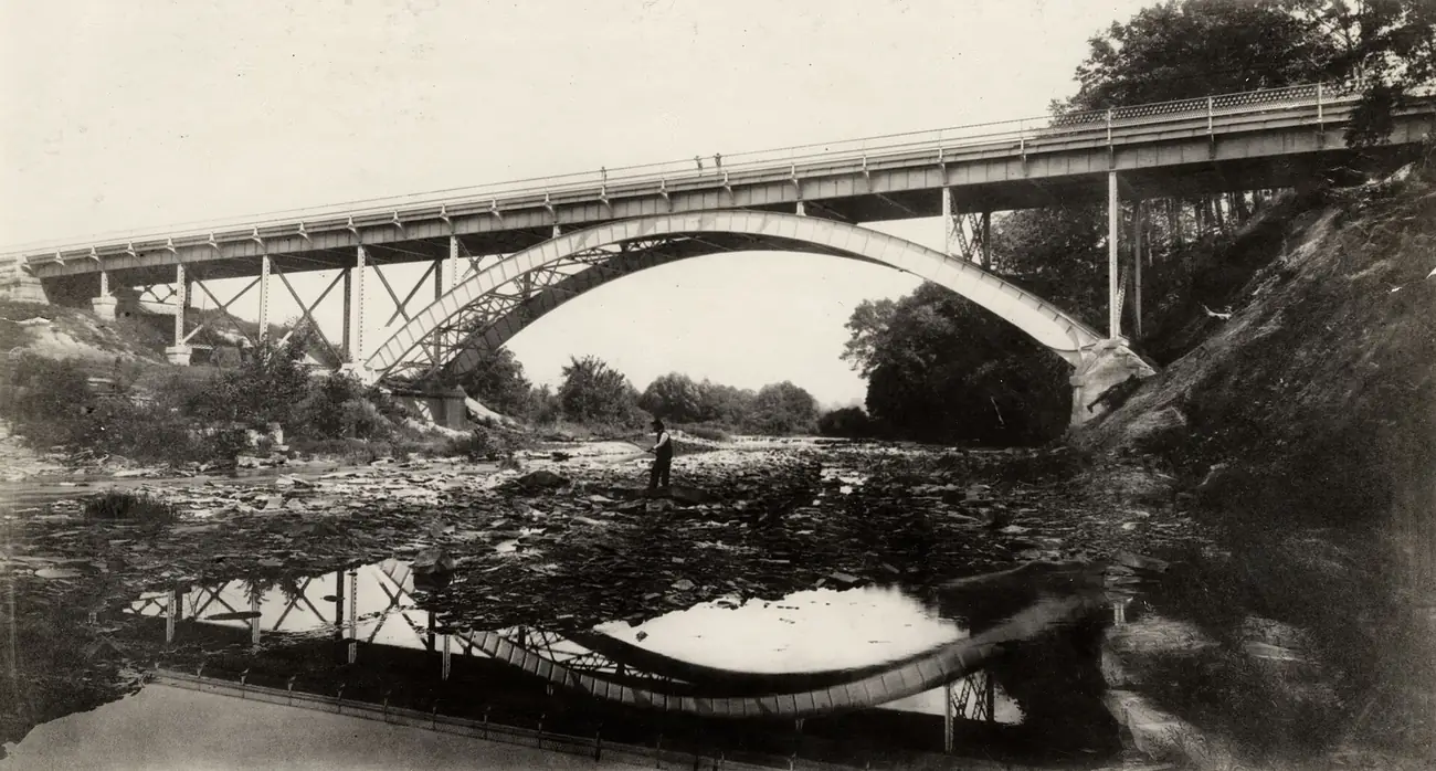
A man fishes in the shallow water below the bridge on the rocky banks.Photo: Cleveland Public Library, via the Digital Public Library of America, public domain in the United States, via Wikimedia Commons. The archive dates it 1895, the year it says the King Bridge Co. of Cleveland built the bridge. It is history, not a current access point.
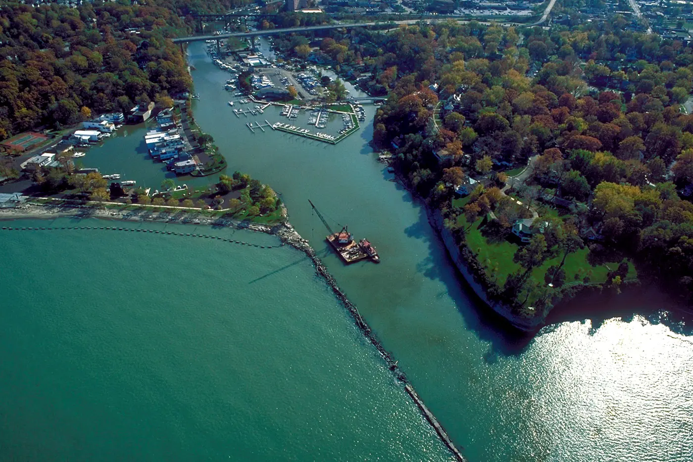
Aerial view of the harbor and river entrance at Rocky River, Ohio, USA on Lake Erie.Photo: Ken Winters, U.S. Army Corps of Engineers, public domain, via Wikimedia Commons. The record dates it 1992, so the shoreline and docks may look different today.
ODNR: During fall through spring, steelhead can be caught in the tributaries using spinning and fly tackle with spoons, spinners, egg imitators, and fly patterns.
(ODNR (PDF))
Lake Metroparks: A spawn sack drifting under a small bobber with a spinning outfit is very productive.
(lakemetroparks.com) A fly rod with any number of steelhead flies can also be great fun and highly effective.
(lakemetroparks.com) Fishing techniques may change from season to season and with changing water conditions.
(lakemetroparks.com)
Size, from Lake Metroparks: Fish returning for the first time are approximately 16 to 19 inches in length.
(lakemetroparks.com) Fish making their third return may be more than 30 inches in length and weigh more than ten pounds.
(lakemetroparks.com)
Gear, bait, rigs, where fish hold and how to release them: how to fish for Ohio steelhead.
450,000 steelhead are stocked annually by the Ohio Division of Wildlife.
(ODNR (PDF)) After 12 months, yearlings are 7-9” long and stocked into 7 Lake Erie tributaries during April and May.
(ODNR (PDF)) Steelhead migrate out of stocked tributaries into Lake Erie weeks after stocking and typically migrate back to the tributaries after 2 or 3 years.
(ODNR (PDF)) The fact sheet is marked Updated: January 2025
(ODNR (PDF)).
| Water | 2021 | 2022 | 2023 | 2024 | 2025 | 2026 Target |
|---|---|---|---|---|---|---|
| Vermilion River | 65,453 | 58,954 | 55,000 | 50,024 | 50,021 | 50,000 |
| Rocky River | 100,532 | 94,530 | 93,801 | 81,051 | 80,045 | 80,000 |
| Cuyahoga River | 0 | 0 | 0 | 60,061 | 60,125 | 60,000 |
| Chagrin River | 92,221 | 93,169 | 94,450 | 80,530 | 80,003 | 80,000 |
| Grand River | 102,114 | 90,169 | 96,610 | 79,999 | 80,020 | 80,000 |
| Ashtabula River | 56,686 | 53,313 | 50,032 | 50,957 | 50,105 | 50,000 |
| Conneaut Creek | 81,966 | 80,777 | 75,005 | 63,898 | 64,219 | 50,000 |
Water Area/Location 2021 2022 2023 2024 2025 2026 Target,
Vermilion River 65,453 58,954 55,000 50,024 50,021 50,000,
Rocky River 100,532 94,530 93,801 81,051 80,045 80,000,
Cuyahoga River 0 0 0 60,061 60,125 60,000,
Chagrin River 92,221 93,169 94,450 80,530 80,003 80,000,
Grand River 102,114 90,169 96,610 79,999 80,020 80,000,
Ashtabula River 56,686 53,313 50,032 50,957 50,105 50,000,
Conneaut Creek 81,966 80,777 75,005 63,898 64,219 50,000. The last column is a target, not a count.
In Ohio, you can only gain access to streams flowing on public property. If you are on private property, including land that streams flow over, you must have landowner permission.
(ODNR map (PDF))
Selected Ohio fishing-law provisions are quoted on the rules page, with links to the full code sections and license exceptions.

